Return to Resources
What is Blue Dot Wayfinding?
May 20, 2020
5 min read
In this blog, we will cover the various pieces that are required to create the indoor Blue Dot experience everyone has come to know and love. There are many technology options that can be used at each step, some of which we outline below.
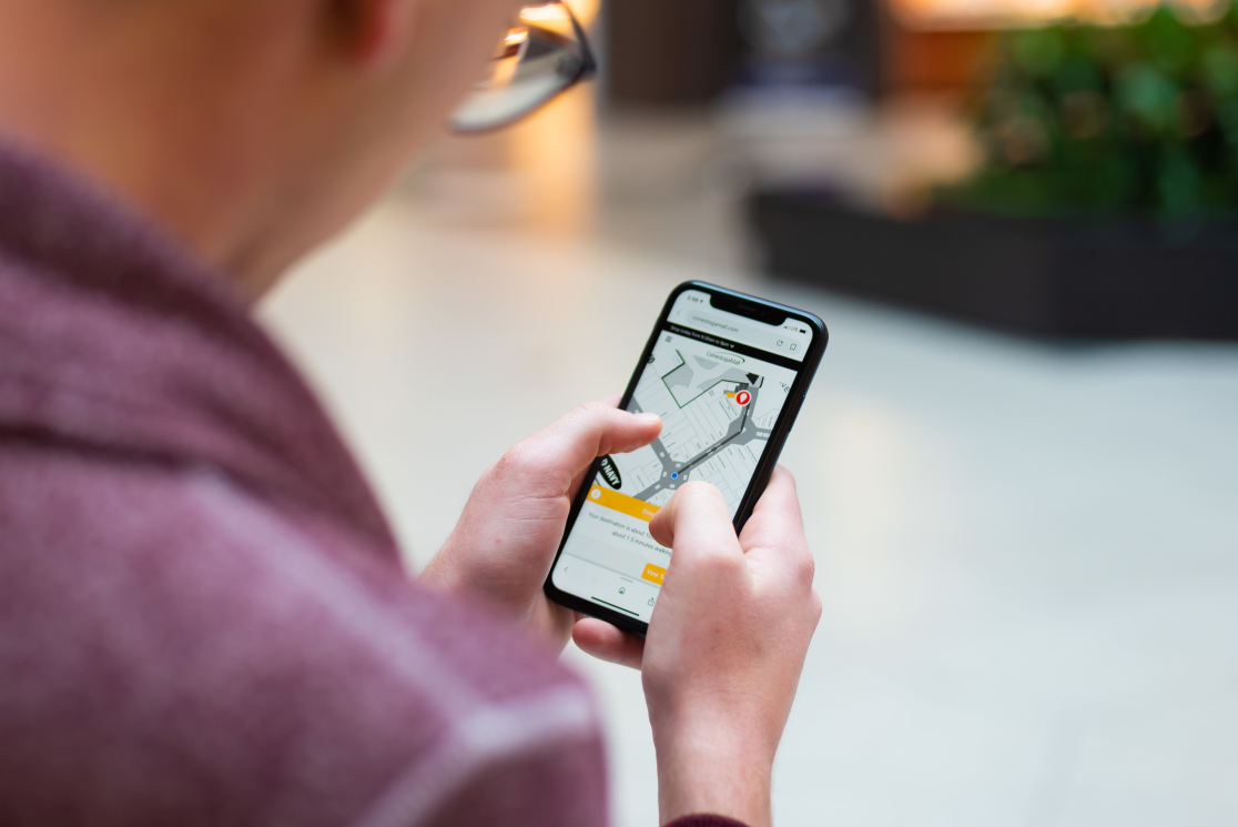
So, what is Blue Dot wayfinding? “Blue Dot” references the little blue circle we have all become familiar with in outdoor navigation applications such as Apple Maps and Google Maps. That little blue circle is really just a designed component to show your current, real-time position.
As previously discussed, your real-time position is detected in the outdoors from GPS (Global Positioning System) which is primarily powered by satellites. With indoor spaces, we cannot rely on that system and as an industry, have had to find other techniques to generate the same Blue Dot experience that we’ve become so familiar with.
There are three main components to a good Blue Dot experience;
A digital map
IPS (Indoor Positioning System)
Wi-Fi configuration
A Digital Map
Mappedin takes old property blueprints and turns them into a usable, digital asset. This digital map can be used across a variety of experiences and outputs, including wayfinding. This map becomes the foundation of the Blue Dot experience. It is critical that properties have a tool like Mappedin’s to easily maintain their maps and make changes, as there is nothing more frustrating than a wayfinding experience, Blue Dot enabled or not, that isn’t accurate.

Separate from the creation and maintenance of a digital map, properties need the ability to expose these maps for the purpose of wayfinding to their visitors. There are many options for this including products like Mappedin Web and Mappedin’s Mobile SDK. Regardless of implementing Blue Dot and real-time positioning, it is critical to build a mapping and wayfinding product that is intuitive, that has simple “to” and “from” entry fields, and so on. This is the basis for the Blue Dot experience and can be built to work with or without it.

Read more about Mappedin’s Map Editor and Web products, both of which are critical parts in the foundation of a good Blue Dot experience.
Indoor Positioning System (IPS)
Mappedin has worked with a variety of IPS (Indoor Positioning Systems) and providers. Regardless of venues that use Bluetooth beacons, inertial nav, geomagnetic, Wi-Fi, or some combination of these, it’s important to work with a vendor that understands the benefits to each and, ideally, someone who can work with a method of sensor fusion (a combination of as many of these as possible).
Questions to ask about your positioning system:
Real accuracy (as opposed to theoretical accuracy): What is the realistic expectation under normal or sub-optimal conditions? For reference, accuracy of assisted GPS is approximately three meters outdoors.
Cost to achieve desired performance: How much will it cost to implement, own, and maintain? For example, your implementation and ownership costs may be low, but the system might require a lot of maintenance at an additional cost.
Response time: How long does it take for the system to respond? For example, on-device calculations are faster than server-side ones, because of the latency involved for the signal to travel there and back.
Reliability: How well will the solution function indoors? New systems sometimes get a pass when they start out buggy, but navigation is often mission-critical.
The common barrier to a good real-time positioning system and Blue Dot experience is cost. Many of these systems require hardware and infrastructure that not only have a large upfront cost, but also ongoing maintenance costs to consider. This is where vendors like Apple and their IPS solution come in. Companies like Apple are making IPS free from infrastructure and setup costs by enabling Digital Mapping vendors and property owners to “survey” their venue within Apple’s survey app to create a grid. That grid works with existing Wi-Fi to send positioning data to whatever application is using it.

Regardless of the type of positioning system you choose, it is important to remember that none of these, no matter how accurate they claim to be, will provide you with a singular Blue Dot position. These systems work in circles to provide a circle of accuracy (i.e. 4M, 6M, 15M, etc.) and the latitude and longitude that references the middle point of that circle. Venues must keep in mind that the middle point is simply that - a middle point - and is a guess at where a user may be within that circle of accuracy. Which leads us to our final critical component to a good Blue Dot experience, the Wi-Fi configuration.

Wi-Fi Configuration
Venues with Wi-Fi that has been configured to account for the number of access points (the more the better), location of these access points (taking room size, open space, etc. into consideration), and consistent signal strength gives an IPS the best chance for accuracy. A venue’s commitment to strong network infrastructure is the foundation of an accurate Blue Dot position. This also seems to be the most commonly missed item within venues looking to implement Blue Dot experiences. Some simple tweaks and improvements can make all the difference in terms of laying good groundwork for accurate positioning.
To learn more about Mappedin's solutions and how we work with other technologies to provide accurate indoor mapping experiences, contact us today or subscribe below.