Return to Resources
GIS for the Non-GIS User
Oct 8, 2019
4 min read
In today’s world, there is a lack of efficiency in how people interact with and navigate the indoors as well as how companies manage their property maps. The average American spends 87% of their time indoors and in the digital age, consumers demand accurate, up-to-date, relevant, and personalized information at their fingertips.
In part 1, we explored how Mappedin got here, and how our clients’ needs helped us develop the products we have today. One of the common obstacles we continued to come across was a lack of standards for GIS data, further confusing people who were already struggling to use GIS software in the first place.

via GISGeography
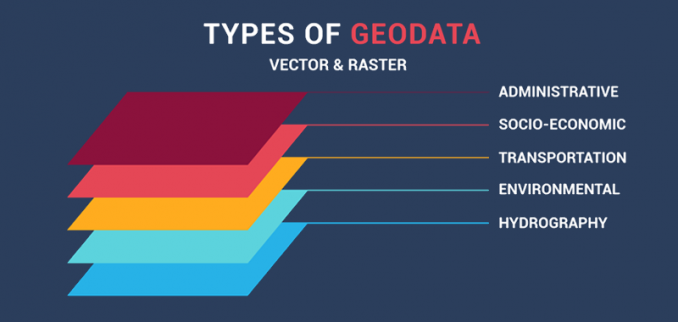
Standards that currently exist like Shapefile and GeoJSON operate as guidelines for how things are depicted within a map. However, if there is no common standard for how a door is drawn, or what a wall looks like; points of interest can languish in an ambiguous grey area.
The overall direction of developing our products has followed a very methodical process. Creating non-GIS tools that export GIS outputs in all accepted standards is a very difficult, but not impossible, goal. Mappedin began with creating a flagship product, our Digital Directories, and a byproduct tool to manage that output. We then discovered that it was actually the tool, our CMS, that was the real value add, and built our entire business around that tool.
As we have progressed through products and company evolution, we created our own data standard in order to help service the industry and move through common data inconsistency issues.
Open standards for GIS data not only ensure profitability and return on investment, but also “make uniformity, compatibility, and interoperability possible for electronic devices, software applications, and processes in all sectors of a global economy.”

via Open Geospatial Consortium
On our internal quest to create a GIS product for a non-GIS user, similar to Bill Kilday and his team at Keyhole, we always have the end-user in mind. We are designing a product that needs to be easy to use for a number of different user groups (our clients, their tenants and partners, on top of their clients as well) which all have widely different requirements and end goals. These users need the data output quality to be at the same level, regardless of the input.
Above all else, we’ve discovered that the number one thing our product needs to be is accurate. Accuracy is an absolute must when interacting with any kind of navigation and wayfinding experience and is prioritized at the top of the list with our clients as well. In fact, the reason that many of them came to Mappedin in the first place was because of outdated maps that had to be duplicated and were a pain to update regularly. If we can alleviate this pain point for them on top of being able to use one map for multiple solutions, we’re off to a good start.
So where does this leave us? Where are we going? Part of "easy to use" includes a common way to depict things, especially when it comes to indoor mapping. We took it upon ourselves to make a standard for our customer base to have a comparative base for how our maps look and feel. We’re moving towards the standardization of maps.
There should be a standard in an industry where accuracy is everything. In trying to create that standard, we’re ultimately trying to create a basis so that people have more options for the user experiences they can build.
Where do you think standards fall in helping to regulate GIS data? How far do you think we are from a globally recognized data standard?


